tristateweatherFB
Members-
Posts
63 -
Joined
-
Last visited
About tristateweatherFB

Profile Information
-
Four Letter Airport Code For Weather Obs (Such as KDCA)
khpn
-
Location:
scarsdale
Recent Profile Visitors
2,519 profile views
-
Extreme Cold, Snow & Sleet: SECS 1/24 - 1/26
tristateweatherFB replied to TriPol's topic in New York City Metro
May I ask. Why are people Using the nam at 84 hrs ? Same people that use the gfs. Relax. Breathe. The outcome is not set at all. I predicted 1-2 feet days ago. I am sticking with it. Why? Because if we thump at 15:1 ratio. With one inch qpf. You see my math. 12 if we mix. 16 plus if mostly snow. Have fun everyone -
Storm potential January 17th-18th
tristateweatherFB replied to WeatherGeek2025's topic in New York City Metro
And then? -
-
Snowfall NYC subforum Jan 6 and OBS if needed
tristateweatherFB replied to wdrag's topic in New York City Metro
You should hire taller people. -
-
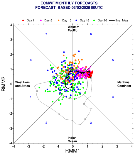
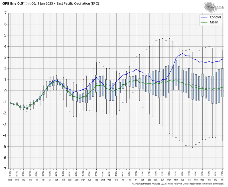
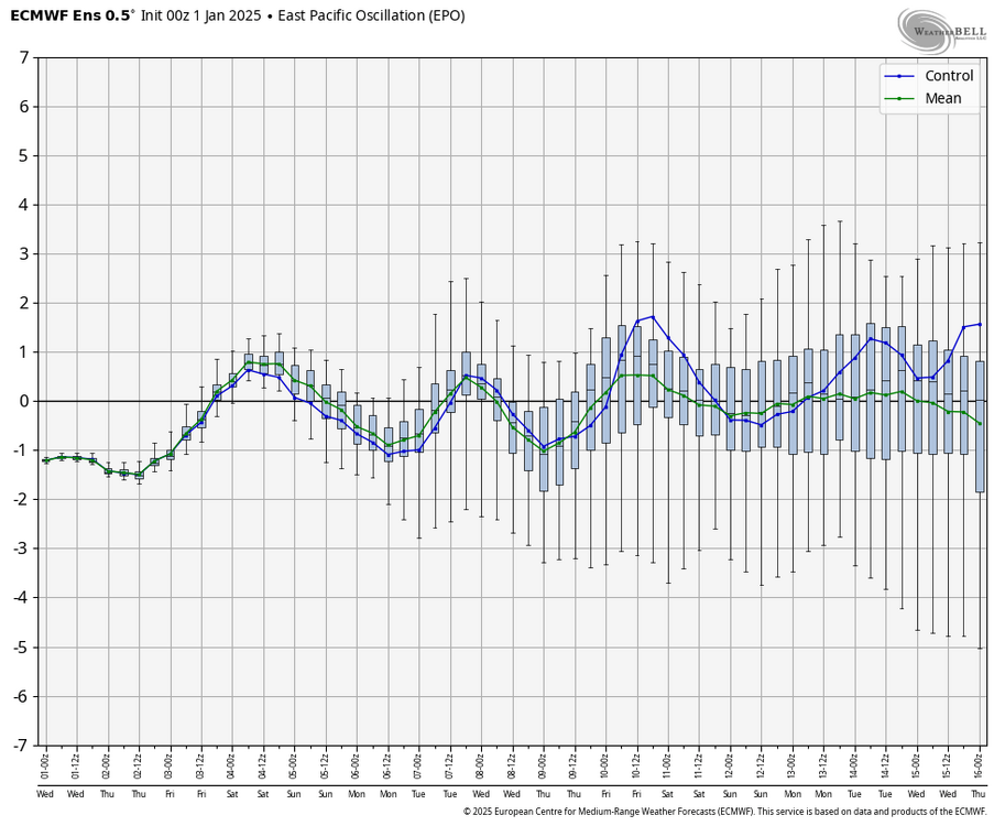
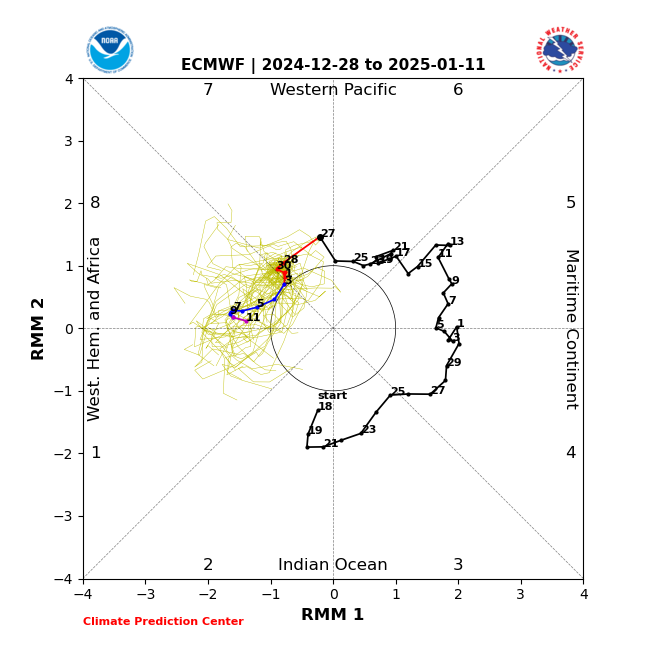
I understand the excitement of a single op run. Even the ensembles (which is more realistic). But… teleconnections!! Epo! Mjo! Combo is a good tool but know how to use it. I kept thinking the Mjo was wrong. Showing warn phase and then crash in the cod. I (we) seen this get stronger into phases. Mjo loves the cod. Well here is the new mjo. That adds to the fact the mjo teleconnection is coming around. personally I been saying warm up (though thought would be more impressive and longer) then fun come mid January 10-20th for a very long time. I am selfishly trying to get a big storm in that timeframe. Before that it’s gravy and unlikely. keep Up the good work everyone! I can’t always post due to my weather obligations. happy and healthy new year to all.
-
I don’t post often here but for a couple of weeks I been calling for a warm holiday. Why? Look at the mjo going into phase 6. Look at the epo going positive. Look at the pna going positive. reasonable ppl or people that just want to talk snow is coming. Sorry to bust your bubble but warmth is coming second half of this month. I do see a flip back in January where I hope we cash in. We need it especially along the coast


