CAPE
-
Posts
33,533 -
Joined
-
Last visited
Content Type
Profiles
Blogs
Forums
American Weather
Media Demo
Store
Gallery
Everything posted by CAPE
-
Latest Natty blend. Note there is zero indication of a miss to the SE. Not sure exactly why/how that has become a point of discussion.
-
A 'SE miss' isn't the same as places relatively further SE forecast to get somewhat higher amounts of snow, which is what the preponderance of current guidance is depicting. Ofc current guidance may not be completely correct about that and some adjustment NW can still occur.
-
We aren't screwed. High probability for accumulating snow for much of the region at this point. But the idea that in this setup the more likely 'fail mode' should be a track too far NW is just a little fucking silly.
-
There is a literal wall of Arctic HP to our N and NW leading into this event. The baroclinic boundary is suppressed to the south. Seems like some here are overlooking basic meteorology. The low will develop and track along the thermal boundary, and so it isnt surprising that places further SE are favored for the heaviest snow. The ens mean across guidance are literally screaming that this is the case.
-
Yeah it kind of pulls it together but a bit late.
-
CMC about to shit the bed
-
ICON is cold smoke
-
So I might get 30. Who else wants to shit on my porch?
-
-
This isn't a Miller B as depicted. Low pressure forms along the Gulf coast and moves up along the SE coast. The exact position and strength and where it tracks from there depends largely on the degree of interaction/phasing with the energy associated with the TPV, and exactly when that occurs. A little too late on the 6z GFS.
-
-
Could screw all of us and snow in SE VA and the Carolinas as the HH GEFS suggests. We just can't know yet.
-
As modeled there is strong and plentiful Arctic HP to our N and NW next week. Cold air will be in place. The thermal boundary will be displaced along/off the SE coast. Pretty solid signal for a coastal storm- exact details on the evolution and proximity to the coast yet to be worked out.
-
You should have posted the 2 day snow map. That's a hell of a signal.
-
1/6/25: 9.3" 1/11/25: 1.2" 1/19/25: 0.6" 2/11/25: 8.5" Total: 19.6" Over climo now and slightly more than Jan 22(19.4") which was the total for that winter.
-
A bit of a visual overestimate. I went out and measured before starting to shovel off the deck. 8.5". That is some pretty heavy snow. It was 30 when snowing, temp up to 31 now.
-
Its pretty now. Lots of shoveling to do before it gets too wet and heavy. Not looking forward to the half inch of rain that will fall into it later. Then more rain this weekend. My driveway is going to become a mess.
-
At least 9" here. I will measure in a few spots. Obv there is compaction but I didn't do the snowboard thing so I will report what's otg.
-
Centreville or Denton probably 2 that have records going back far enough. And Easton ofc. Not sure about southern DE, but that is the location that has done the best overall in these patterns since 2016. I have a feeling this may be a relatively new occurrence. Be interesting to know.
-
6.8" Steady light to moderate snow continues to fall.
-
4.5" Some moderately big dendrites under these yellow returns.
-
Coming down heavy with big flakes now.
-
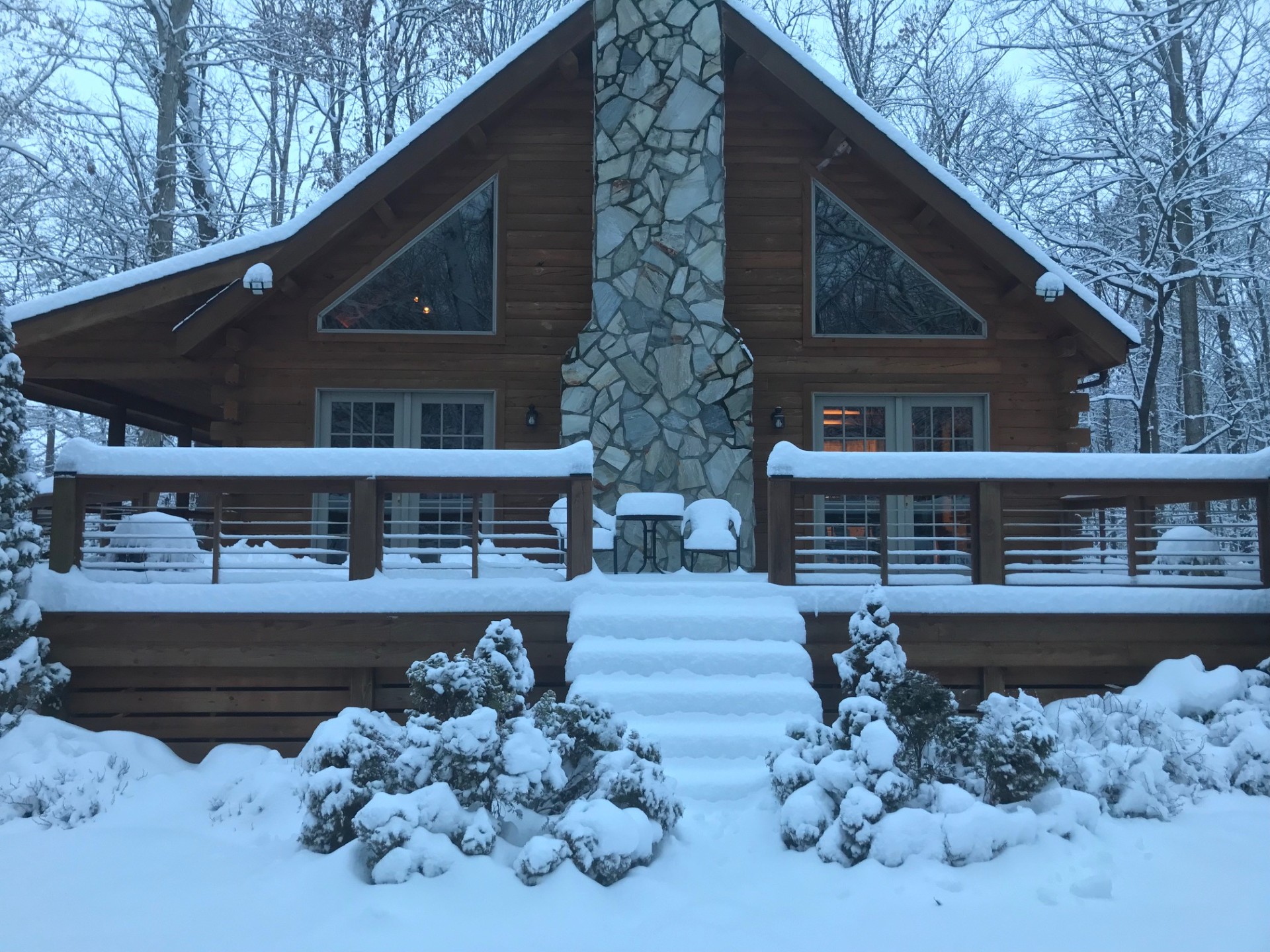
Took this earlier while getting some wood for the fire.
-
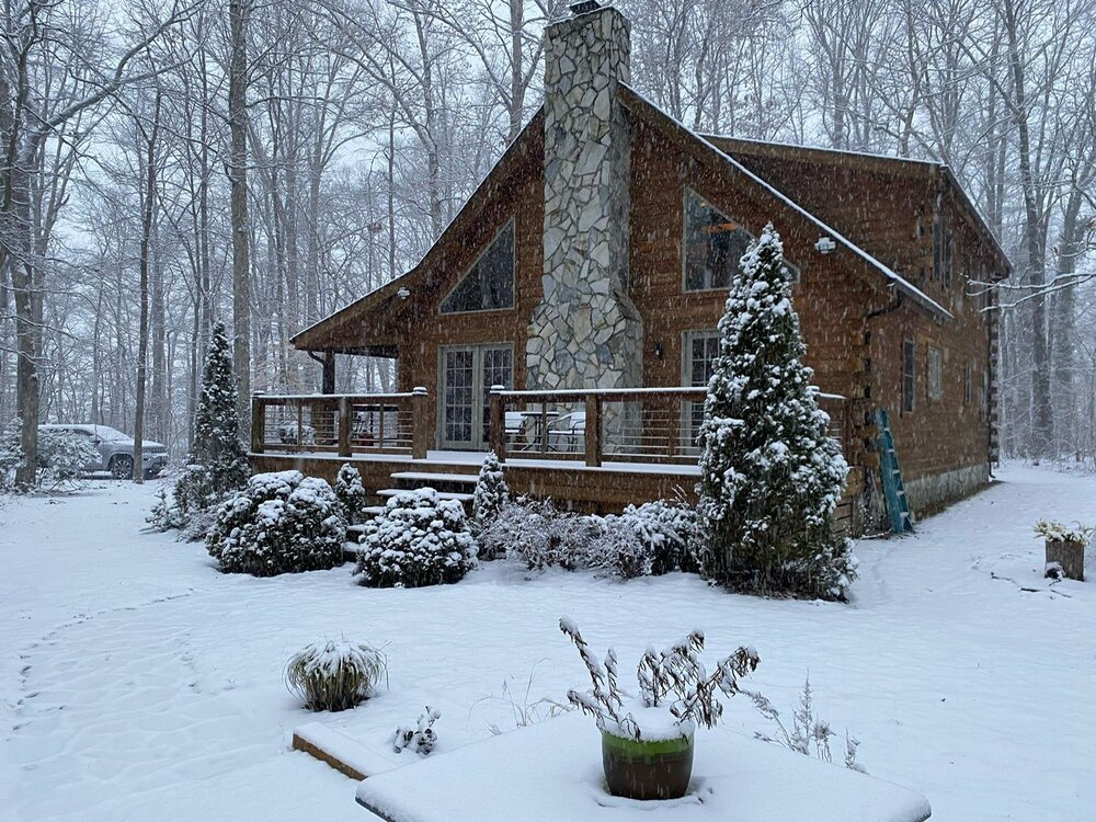
Moderate snow with bigger flakes now. Some yellow banding just to the SW. 2.5"