dmc76
-
Posts
6,708 -
Joined
-
Last visited
About dmc76

Recent Profile Visitors
5,743 profile views


-
That 1996 storm was the only true blizzard I w ever seen locally. 1999 wasn’t even a blizzard lol. Still don’t understand to this day why we were under a blizzard warning. Yes. That March storm 2002 there wasn’t a dusting until south of 8 mile. 8-9” at belle isle. 0” at 75 and 8mile cool storm to chase. I had fun
-
Reminds me of a storm we had in March 1996. 10-14” along and north of 59. Lansing. 0”
-
Huge dent on the snowpack. Went from about 9” otg to start the day to about 4-5”
-
About 2.4” since last evening of lake effect. Definitely getting deep here. Figure about foot otg.
-
Picked up 1.8” from lake effect band this evening. Snow depth around a foot
-
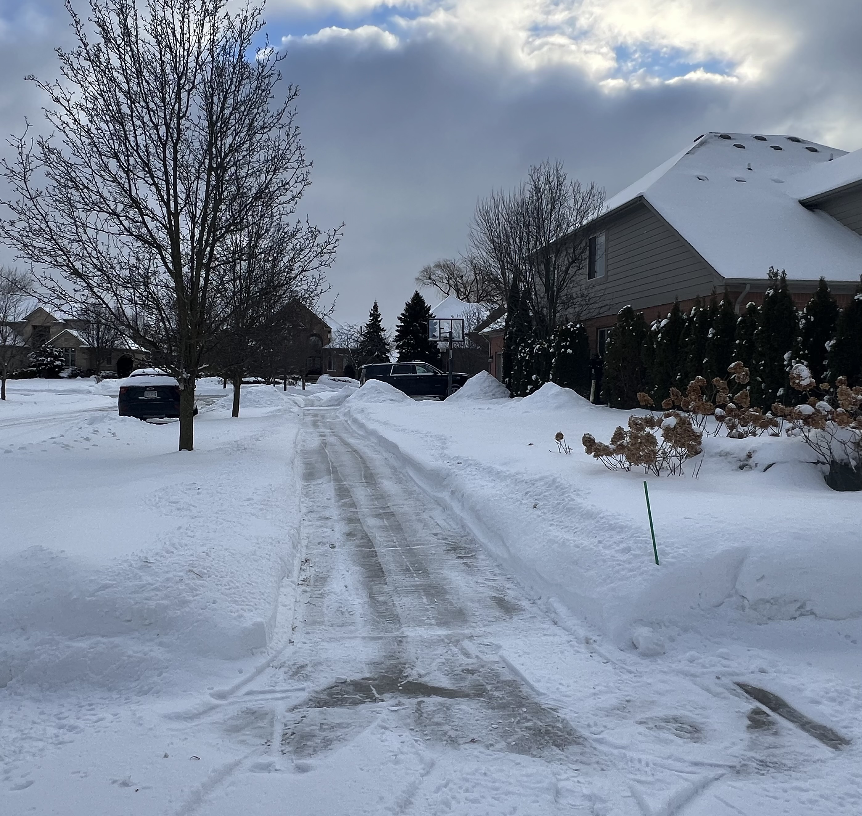
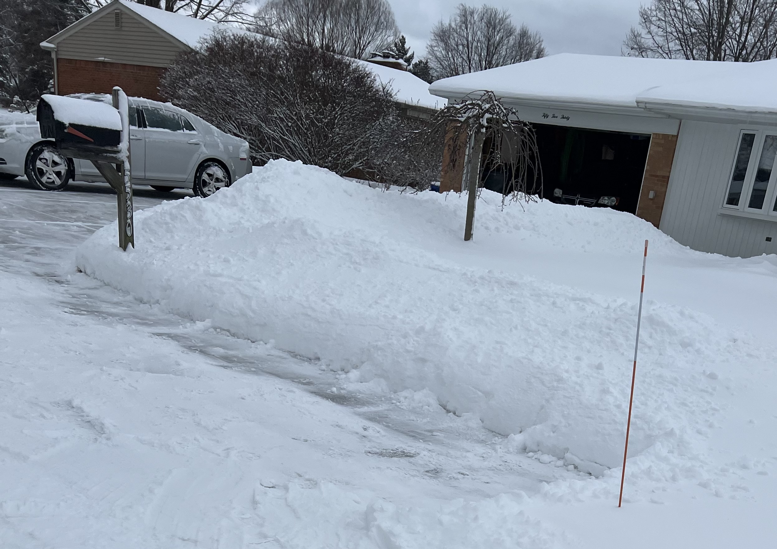
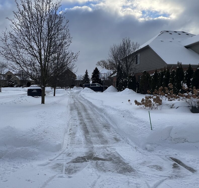
5.8” total. 2 day storm about 10-11” otg. this is a house in my in-laws neighborhood a seven-year-old woman she does such a beautiful job shoveling refuses to use a snowblower

-
This isn’t our first bust and this isn’t going to be our last….just the way it is in the lower lakes
-
2.25” roughly. Solid/legit heavy snow band ripping through. Might end up with 4”. I’ll take it!
-
2.5” thus far. Nice little start
-
I think you gotta back to March 1996
-
I don’t care either. I’m just letting people know. It’s been 14 years since the local office has issued a blizzard warning. Of course and never really happened but that’s the last time one was issued.
-
It’s been 14 years since a blizzard warning in SEMI if anyone is wondering and that was for the flop storm famously known as ….ghd1 no. They didn’t need to issue one then but they did and that was the last time
-
6” total. Nice event overall
-
Picked up an 1” so far. Maybe another half inch with the northern piece
-
MSP picked up 3-8” across the entire metro area. South MSP was forecasted to be on the low end