Chrisrotary12
-
Posts
7,523 -
Joined
-
Last visited
About Chrisrotary12

- Birthday 11/08/1990
-
End of year scramble tournament season is upon us. Got one tomorrow, 11/7 and 11/14.
-
Not mad at it. Keep November misery away for as long as we can.
-
Will it even snow this year?
-
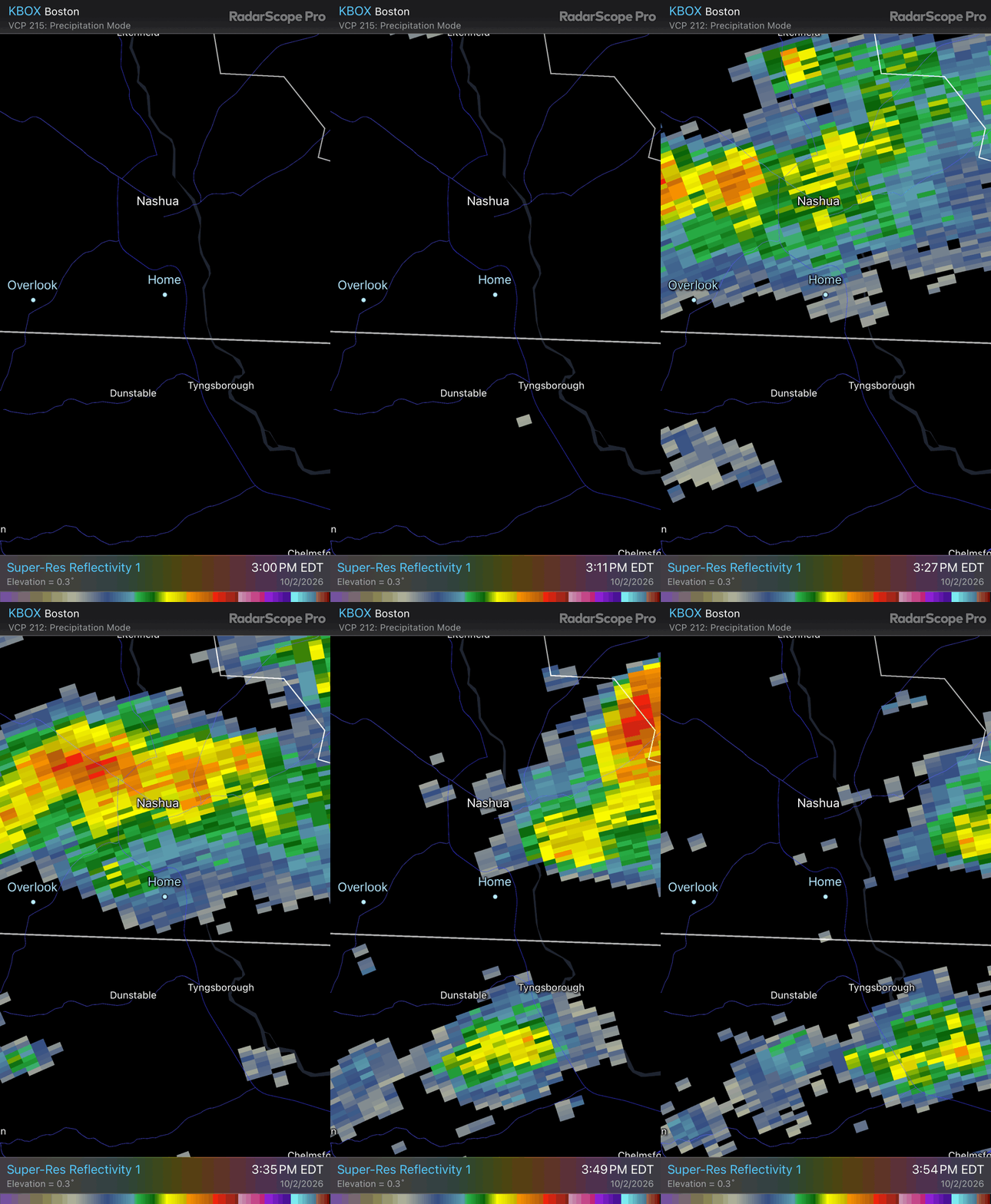
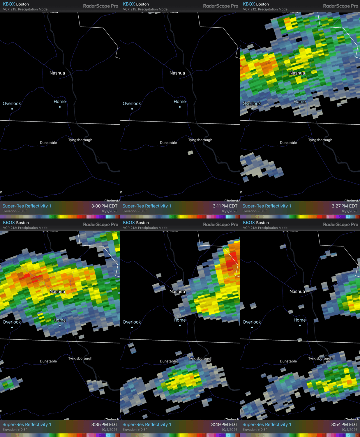
House rattling thunder was not on my bingo card
-
It as cold and windy as advertised.
-
Yes they do. I'm also slightly concerned about the face of my driver cracking.
-
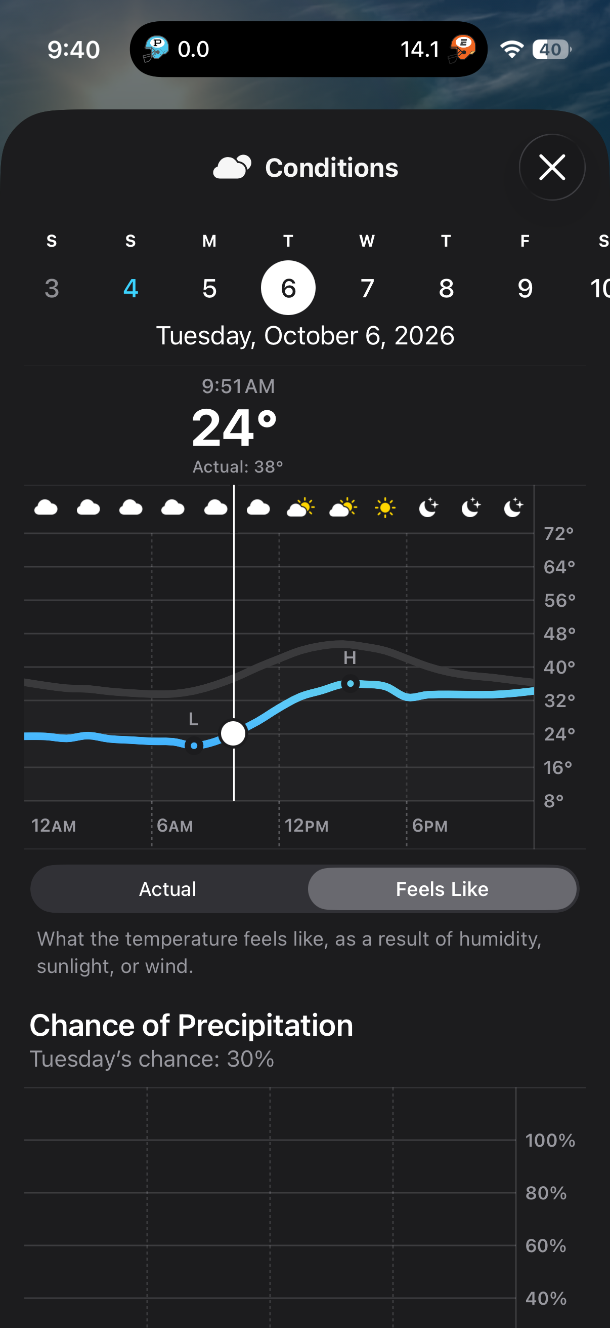
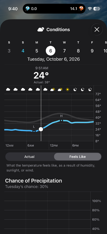
This is my tee time on Tuesday. Da fuq am I supposed to do with that?
-
Feel like I’ve got chickens.
-
Woof. Guess I'll pack my winter gear.
-
NH Mid-Am is at Mt. Washington this coming Monday - Wednesday. What am I in for weather wise?
-
What an epic run southeast MA is on. Every event.
-
Yep.
-
What storm?
-
As expected, absolute yawner here.
-
Really liked the overnight runs. Looks like might be able to sneak it in. Plus need to get in a crappy weather round ahead of the Mid-Am at Mt. Washington 1st week of October.