

TradeWinds
-
Posts
539 -
Joined
-
Last visited
1 Follower

About TradeWinds

-
Orlando international just measured an 86 mph gusts per WFTV. That's on the front side.
-
Siesta Key https://x.com/Fox35Amy/status/1839660622092353635?t=57UvOaG1txVU46SaPgw25A&s=09
-
Tampa https://x.com/JaneCastor/status/1839647578297950448?t=sBtY5ZuzzhskG8xBG6tUkw&s=19
-
Makes you wonder. Maybe closer to alignment.
-
Looks more like the eye tightening up on the left side.
-
Center clearly shows an easterly movement on radar last hour, even NE. Wonder if the center is still aligning which will wobble it back and forth.
-
You'll see decent squalls especially as it lifts north. Areas of central and north central peninsula probably will see their worst conditions Monday instead of today as it gets a more easterly movement and the plume drags with it.
-
It's still elongated at the center but you can see it coming together. There won't be any rapid intensification until it gets fully aligned.
-
As currently forecasted, just squally weather in Orlando at times. Our biggest impacts are typically when they enter near SWFL. Watch for trends.
-
Is the blob everyone is focused on the one just NW of Jamaica? That seems like a typical MCS that pop up with unorganized systems. The recent blowup of convection on the southern tip of Cuba has my attention.
-
Cuban radar looks like broad circulation but generally centered over the land mass.
-
Like Jeanne but further west. Ha
-
I think Orlando would disagree with that, unless you're talking homes demolished.
-
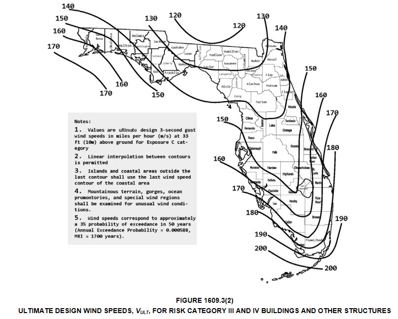
I'm surprised Taylor County building codes are only to withstand 130 mph gusts let alone sustained winds. I'm sure many are built above standards but older homes will be tested.
-
Speed is what might make the difference. I know when Hurricane Charley zipped across FL, Orlando had its highest gust ever at 108 amd that was pretty far from landfall. What surprised me is FL building codes are only to 130ish where this may landfall. I would think Valdosta older buildings/roofs could see high damage if hurricane force winds are sustained.

