eduggs
Members-
Posts
5,128 -
Joined
-
Last visited
About eduggs

Profile Information
-
Gender
Not Telling
-
Location:
Morris County NJ
Recent Profile Visitors
The recent visitors block is disabled and is not being shown to other users.
-
Tue-Wed is super amplified. Big phase, neg titled trof, big QPF, and strong SLP. So we shouldn't really say it can't happen.
-
All guidance actually shows a pretty decent phasing event on Tue - Wed of this upcoming week. Pretty classic phase with the trof taking on a negative tilt and a strong surface SLP. Should be a big QPF maker and significant snowstorm for deep interior Ontario.
-
12z ICON, CMC, GFS, UK, and ECM all have a distinct (trackable!) wintry threat for Sat 3/8. Nice to see a sudden move towards model consensus. Too bad it's still 7+ days out.
-
I honestly thought JB would be unemployed and homeless by now. Surprised to hear his name mentioned... It was obvious to everybody about 11 or 12 years ago that he is a garbage meteorologist, a fraud, and an idiot.
-
I'm confident (though not certain) that you know less about fire prevention than experts whose job it is to know. The issue is likely a lot more complex than you indicate.
-
The averaged anomaly charts have been looking interesting most of the winter. But the actual realization of shortwaves has continuously materialized as not interesting.
-
How about we average every hour of the day instead of just the high and low? Then we would have a much better index of the temperatures on a particular day.
-
On the subject of temperature records... is anybody concerned about how temperature departures are calculated? Is averaging the daily high and low temperature even all that representative or comparable? Should it matter if a low temperature was achieved after a brief but precipitous drop vs. a constant temperature for 16 straight hours? All this fussing about reference periods and minor anomalies... when the method of calculation is hardly precise or rigorously scientific.
-
Apparently. I'm running behind all coastal regions from Cape May to Cape Cod since 2021.
-
Meh storm. Just a couple inches.
-
The Feb 28 - March 3 period is still worth watching. There's a tendency to amplify the flow for successive waves with marginal cold air and a modestly favorable longwave pattern. The 12z ICON, CMC, UK, and EC-AI show significant coastal storms during this period, though with mostly non-frozen precipitation. As usual, the nuances of wave interaction will be key to determining if we can sneak anything wintry out of it.
-
The Hudson Highlands area had an OK winter this year, especially when you factor in a few early season localized light/moderate events and the sustained snowpack. But I drove through parts of Orange and Putnam yesterday and there was a lot of bare ground on southerly, sun-baked aspects and the usual late-winter snowbanks on the sides of roads were largely missing. People were ice fishing out of the lakes, but the vibe was of a low-snow winter. Down in northern NJ this is the 3rd winter in a row essentially without snow, particularly east of the I-287 terrain boundary. It's been a miserable stretch for snow lovers.
-
Discussion-OBS snow event sometime between 06z Thu 2/20-12z Fri 2/21?
eduggs replied to wdrag's topic in New York City Metro
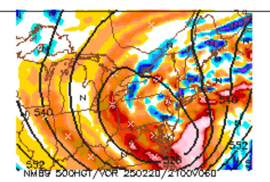
Yup. Days and days of fairly steady modeling showing a miss despite an anomalous setup. Absent a few 5-7 days runs with coastal impact, this has been well telegraphed. You can't even hang your hat on any particular fantasy SREF member anymore as of 15z. -
Japan has had a relatively warm winter. Despite that, some of the "heavy snow regions" have had a snowy winter... probably partly due to the warm anomalies in the Sea of Japan. Or are you referring to a different year?
-
Discussion-OBS snow event sometime between 06z Thu 2/20-12z Fri 2/21?
eduggs replied to wdrag's topic in New York City Metro


