
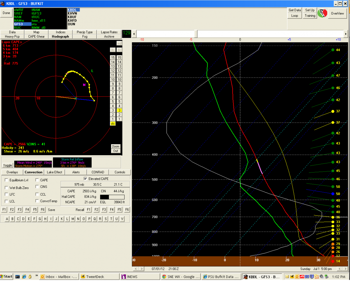
Friday still looks like a legit opportunity for the mid-Atlantic and new england. Big time EML still shown on the gfs advecting in, but with that we get a big time cap. Wind fields dont look spectacular to my eyes, but it looks like >30kts 0-6km unidirectional shear on the latest gfs for northern mid-Atlantic and looking at the BDL bufkits.