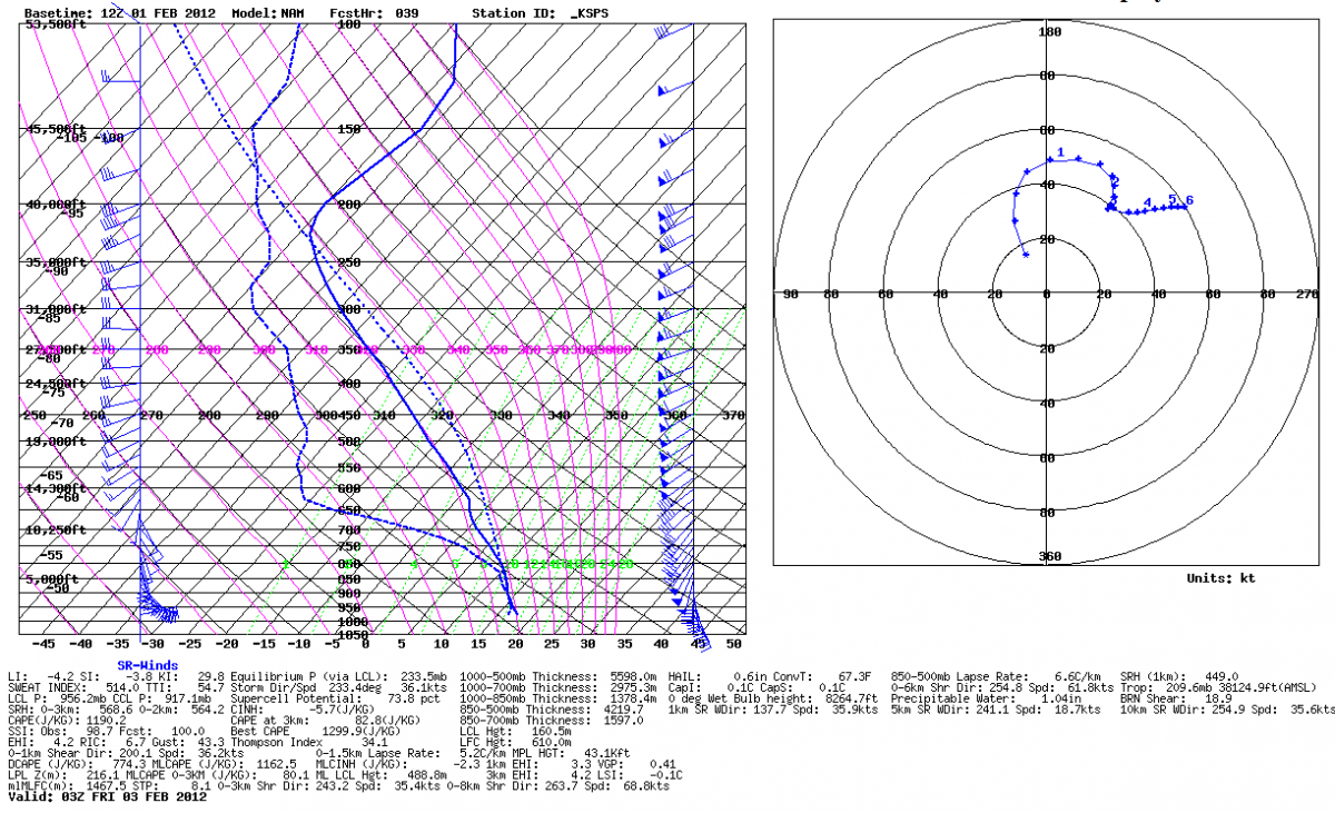
Current Day 3 outlook, with a small slight risk across West-Central Texas, although this will likely change per the latest model analysis across this area for Thursday evening/night:
However, Friday appears to be an event as well with the strong shortwave and associated vort max moving east, inducing further surface cyclogenesis and advecting a rather moist and potentially buoyant air mass across Central/Eastern Texas into the Arklatex and Southern Oklahoma, along with adequate shear.
Day 4-8

