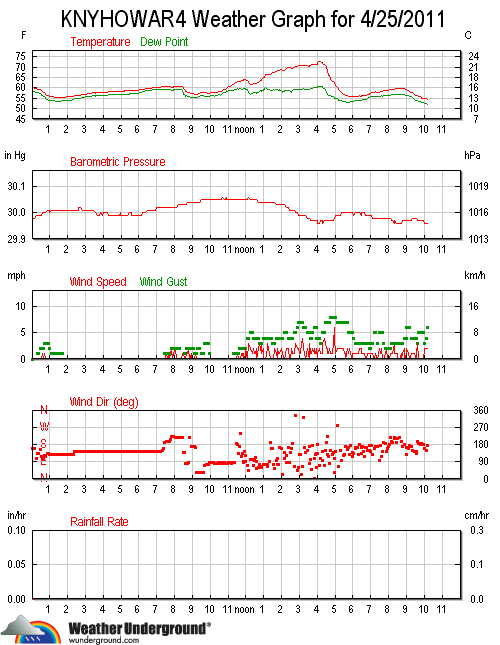
The best idea is likely to start with today's discussion..and in that case we have a later in the day/warm front type convective setup. The highest probabilities for convection on most short range guidance are after 2100z as the front lifts north and a weak shortwave traverses northeast through the great lakes. The convection is likely to be elevated above the boundary layer--the SREF has an area of 1000+j/kg of MUCAPE over the entire area at 06z Tuesday. The severe threat with this convection s

