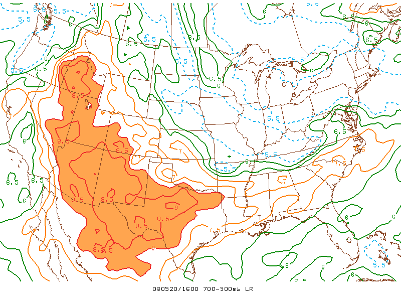
EML's, which are packets of desert air that originate in the intermountain west, are often invoked to explain severe weather as far away from the Rockies as New England. For several months I have been puzzling how such dry (heavy, dense) air could maintain its coherence and altitude while passing the two thousand miles from ABQ to BDL.
To put the question in the least technical way possible: Why wouldn't it fall down? Looking at SKEW-T's I see that such parcels of air are fairly common in the East, manifesting themselves as a sharp rightward movement of the temperature line, and a very sharp, leftward movement of the dewpoint line at some point above the surface, with the two lines reconverging at higher altitudes to form a sort of tent-like pattern.
I would love to get a discussion going on EML's and/or skewT's in general. Any takers?
Let's discuss it here.


Recommended Comments
Create an account or sign in to comment
You need to be a member in order to leave a comment
Create an account
Sign up for a new account in our community. It's easy!
Register a new accountSign in
Already have an account? Sign in here.
Sign In Now