All Activity
- Past hour
-
Heavy squall line in Ontario
-
 Really an incredible winter that ought to be remembered as fondly as 1976-1977, but they didn't measure snowfall in the same manner or with the same diligence and so it gets lost in the shuffle... but the snow depth records tell the real story. It's like comparing the dead ball era baseball records to the modern era. Like you'd think the 1910s weren't that snowy at Buffalo until you look and see there was a foot of snow on the ground for most of the winter! These days, they'll be like X location picked up 100" of lake effect in 4 days, and the peak snow depth will be like 20 inches. December-February snow depth at Buffalo - actually had 6 more days of 18"+ than 1976-1977! At Erie, an absolutely absurd 20 more days of 18"+ than any other winter, despite 4 missing days...
 -

2025-2026 ENSO
so_whats_happening replied to 40/70 Benchmark's topic in Weather Forecasting and Discussion
I mean there is a lot of warmth with depth that has yet to be mixed. We do need much more in the way of tropical/ synoptic activity to really overhaul this region which will take time. There is definitely a noticeable shift trying to take place but the pattern is still very much entrenched across the region. As much as I want it to change it still needs time to make these changes.
-
I doubt we'll see another winter of 1944-45 though! Here are some scenes from the Finger Lakes and Buffalo, respectively. And Toronto, Ontario, in the wake of the Great Snowstorm of 1944:
-
More than one CAM has a repeat performance tomorrow over Chattanooga. Similar rainfall amounts. Hope that’s wrong.
-
space x rocket launch was apparently visible overhead for all a short time ago.
-
 Some rain would be nice.
 -
Ya.. I have been unable to find the rocket launch info
- Today
-
Saw it near Pittsburgh. I assume a rocket launch. It was drifting slowly north.
-
Who saw this?

-
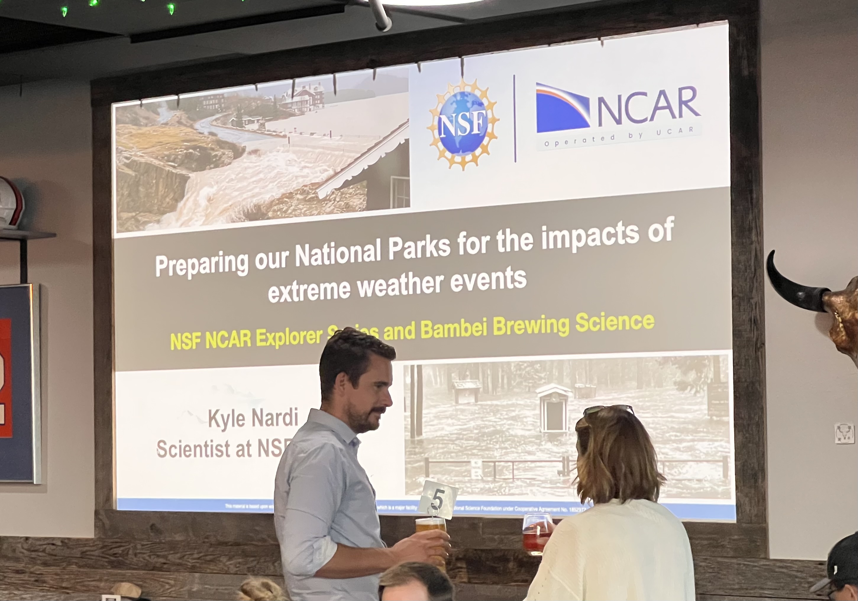
I’m in Colorado for another hiking trip and was lucky enough to get a tour of the National Center for Atmospheric Research (NCAR) today in Boulder. And then this evening there was a climate talk at a local brewery. Cool stuff. Also wondering if any Penn State alums know this meteorologist. Kyle Nardi.

-
Credit to a poster at S2K for this. Note especially how strong 3 of them get (to MH strength): 18z hurricane models, in 126 hours (00z 8/18): HWRF: 955 mb, 104 kt, 21.7N 62.0W HMON: 954 mb, 103 kt, 22.2N 62.9W HAFS-A: 942 mb, 119 kt, 20.5N 65.6W HAFS-B: 972 mb, 78 kt, 21.1N 65.7W
-
 Only 1983 did it.
 -
Erin is rocketing along in the tropical Atlantic tonight, and despite a day of convective challenges the system is generating some deeper convection. As of now, Erin continues to tick south of forecast, and models think this south of due west motion will continue for a little longer. This is reflected in the subtle changes in the NHC track, which has ticked south over time. This shift that increased the odds that the Windward Islands, USVI, and PR receive indirect impacts, and depending on the extent and amplitude of the Atlantic ridge, it may have longer term consequences. Currently, the odds overwhelmingly favor Erin recurves before reaching the U.S. east coast. Using the Euro, I want to illustrate why. (sorry about the gif size lol) The models have been trending toward more of an Atlantic Canada risk, but of course we're far from knowing too much that far out.
-
Yeah. We have been noticing a lack of bats.
-
Looking at the BTV temps, that’s about as desert dry as you’ll see it in this part of the country. Dew points were in the 40s most of the afternoon. 98/47 and 17% RH around 4pm is really dry heat. Running sub-20% with dews as low as 45F today.
-
I still wanna know why the heck the moisture cutoff from Baltimore north during the winter has lasted this long. Like..."north and west of the city" and the usual snowing areas hasn't even been a thing! Something going on this long makes "random chance" difficult to accept. I swear it feels like something in the atmosphere changed because it’s been a literal wall, smh
-
Nah this is what he does. He is THE hype man of the forum and everybody loves it!
-

2025 Spring/Summer Mountain Thread
Met1985 replied to Maggie Valley Steve's topic in Southeastern States
Looks like we are going to see some heavy rainfall tonight especially in the SW mountains. It's moving in now. More rainfall. This pattern is completely opposite from last year. -
My brother said he was good in Hixson, because he lives on a hill top. But he said there was pretty deep water in the area around Middle Valley and 153, which are basically the two ways in and out for him.
-
It’ll happen when we least expect it! Yup. When it’s been this long without a strike people get snippy.
-
Nowhere near a 1,000 ft
-
New England weenies talk crazy in the tropical thread every year
-
I posted in the severe weather thread but all good here. 5.64” in my gauge in Apison. Looks like more to come tomorrow.
-