All Activity
- Past hour
-

E PA/NJ/DE Spring 2025 Obs/Discussion
RedSky replied to PhiEaglesfan712's topic in Philadelphia Region
Only the ECM has significant showers in the Philly area .25-50" today. Is it superior gone find out. -
That may be a product of 1) As its moving away from the Albany radar the entire storm is being sampled better 2) It's in the process of strengthening but it doesn't look like the reds/greens are rotating around...look to be more divergent like. But it is moving into some better llvl shear so do have to watch
-
live webcam out of Pittsfield getting real dark to the west and might be fun to watch https://wnyt.com/cdphp-first-warning-cam-pittsfield/
-
Idk the last frame looks to be tightening up
-
I think that is more straight line versus rotation
-
Overcast here with some sprinkles. 71/59
-

E PA/NJ/DE Spring 2025 Obs/Discussion
Birds~69 replied to PhiEaglesfan712's topic in Philadelphia Region
-
that's a pretty good divergent wind signal there
-
Pittsfield also.. really looking good and starting to tighten up
-
Yeah thunderstorms here definitely don't have the lighting production they do out in the Plains or even Southwest when they get them. That's certainly a product of warm mlvls.
-
E PA/NJ/DE Spring 2025 Obs/Discussion
Birds~69 replied to PhiEaglesfan712's topic in Philadelphia Region
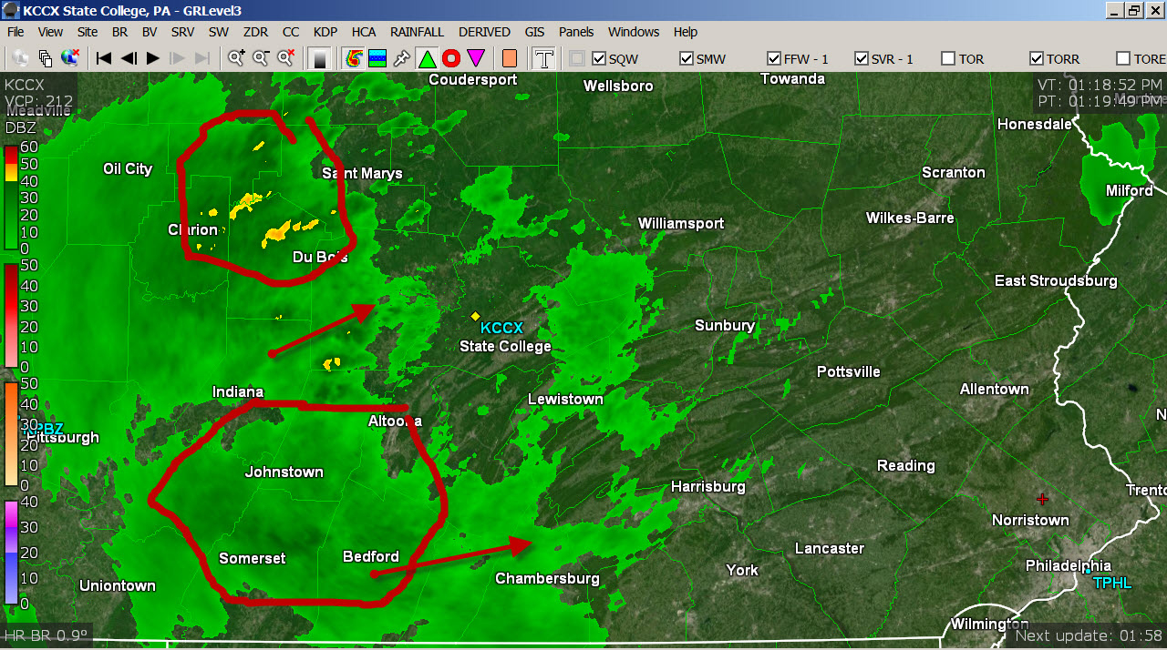
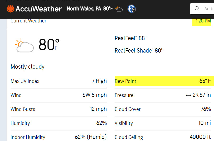
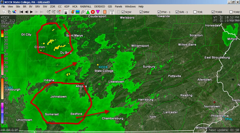
Stuff up N definitely looks better but to the S looks like a decent batch? Damn DP at 65F...annoying.
-
Canaan NY needs to watch that storm
-
Yes tomorrow
-
Wow it's so humid outside. This weather sucks
-
I just mean it seems like a lot of our storms don’t have a ton of lightning. We get EF1s from downpours.
-
Dry begets dry
-
hopefully it moves right along into my area
-
we'll see what happens a bit East...storms went up in a weaker instability encirovnment
-
Looks lame for ltg so far. Greta torching our mid levels for years.
-
ahh...well must have felt good!
-
Watch issued up here until 8pm. I’m watching that line to my west along the border.
-
I just did. I had to find my directions to remember the process. You can go years up here without issuing one.
-
That low area of CC is moving along with that core and where there is weak rotation
-
No rain this weekend?
-
You may have to just cover for someone on a day we have a risk so you can do it