All Activity
- Past hour
-
Definitely need rain in middle south of I40. The winds have dried it out significantly. Drought & fires will be a more significant issue if we don’t get some soaking rains.
-
56 / 29 cool. Likely the coolest day of the next 7. Back near 80 tomorrow. Then a gorgeous Wed - Fri low - mid 70s. Next shot at rain now forecast 0.50 or more comes this Saturday (26). Timing to be worked out and as of now Sunday looks salvaged. Overall warmer close to the month and dry since the 16th with Saturday next meaningful rainfall.
-
I wanted to plant some perennials and other stuff this week and next. Was planning on this being a rainy period. Lol
-

2025 Spring/Summer Mountain Thread
Maggie Valley Steve replied to Maggie Valley Steve's topic in Southeastern States
Looking like an unsettled weather pattern is taking shape for the upcoming week. Chances of almost daily rain fall should finally reduce the wildfire threat across the Mountains. -
Something like this is so premature LOL. Not saying it won't happen, but definitely can't say this will happen. Happen. We got plenty of time till we know for sure
-

Central PA Spring 2025
Mount Joy Snowman replied to canderson's topic in Upstate New York/Pennsylvania
Low of 51. We snuck in the ol' midnight high yesterday. Man, what a perfect Easter day it was, can't draw it up any better. We were outside playing yard games the whole day and having egg hunts, and it was just perfect. Hope everyone got to enjoy it. -
-
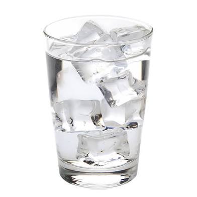
Post pics of ice in water
-
For posterity, I spotted some minor undulatus-type clouds over the Manhattan skyline this morning while on the LIE.
-
Another warm day and night, high was 83.3, low 55.6. Close to records (89 1985 and 57 in 1992), but not quite there. Currently partly cloudy and 61.4/57.3 at 8:20 am.
-
The old Manny Alexander I like to call it
-
It feels like it's been months since we had a sunny morning. I don't ever remember so many cloudy windy days.
-
Can’t use HVN. *
- Today
-
We had a freeze early April-we are about 5 miles inland from BDR so always colder here.
-
BDR was 47 for the low. When we the last time you had a hard frost there? Been frost free here since like the first week of March in Branford.
-
Outside of a couple trees with some green blossoming, only leaf breakout this weekend was in Toronto last night.
-
Any day now

-
No frost here but the pollen is sure out.
-
Some signs of a light frost here overnight...hopefully last of the season. Thankfully we warm up quickly and thankfully the wind won't be as brutal as yesterday...made doing yard work a pain, especially cleaning the gutters.
-
No way

-
Ice in the water this morning. Plants susceptible to frost Gardening waits until after full moon in May
-
so has the pollen
-
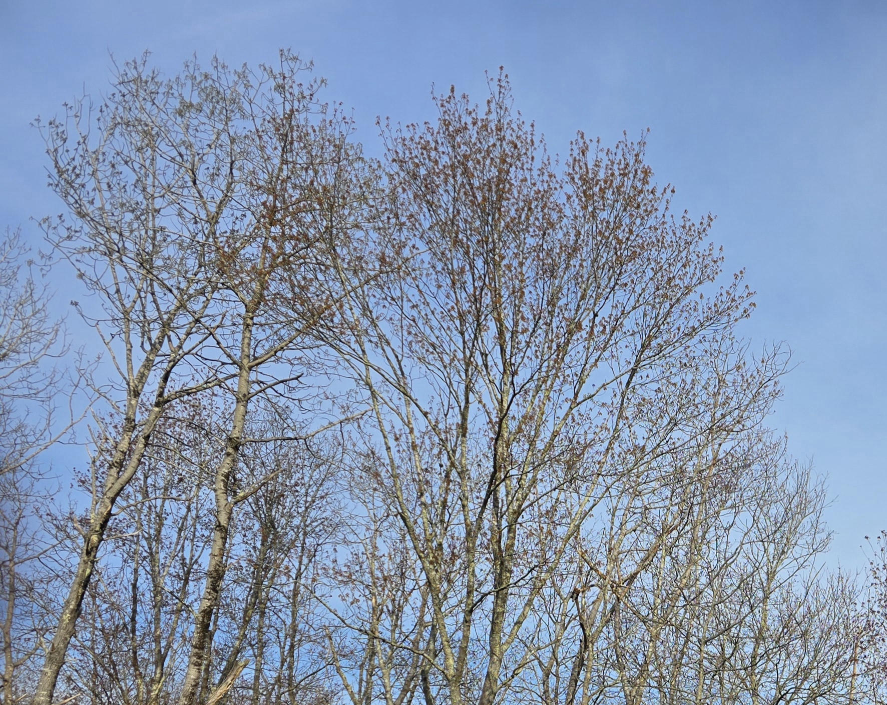
frost here sat says overcast which will retard recovery today ..but it won't be 33 tonight. tomorrow begins a period where cloud depending, the afternoons could be more consistently making a run at 70 for 3 or so days. i noticed the 80s on saturday really triggered our green up process. we were budding before, but now all sugar and red maples are flowered well out, and even the oaks are bud swelling. it'll be interesting to compare at the end of the week.
-
I agree as I see very little chance for El Niño at this point. The only thing that I recall that ever explicitly hinted at it was CANSIPS a number of months ago when looking ahead to August showing a significant central Pacific equatorial warming. However, it has since been modifying this each run and no longer shows anything of note. In addition, Nino regions have cooled notable from highs in March/earlier this month (see below). When also considering the Euro’s notable warm bias in spring for the subsequent autumn, I’d also say very low chance. La Niña may very well have a better chance than El Niño.


-
We grow