US Upper Air Pattern could change in two weeks!
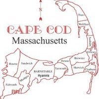
Models in the long range, are beginning to show a winter like pattern beginning late OCT, sometime after the 27th. In the next two weeks of OCT, warm air is settling in after our mid-week miller B storm center offshore of MVY sometime WED night. Cold air will dump into the central Northern CONUS north of 40 north latitude.


0 Comments
Recommended Comments
There are no comments to display.
Create an account or sign in to comment
You need to be a member in order to leave a comment
Create an account
Sign up for a new account in our community. It's easy!
Register a new accountSign in
Already have an account? Sign in here.
Sign In Now