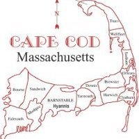
Tuesday storm could bring snows just inland
Right now if I were to do a snow map I would focus on areas just west of the Canal and focus on a Providence, RI to Boston, MA route along I95. Snow could accumulate quickly with a quick band of heavy snows, precip shows about .50 to .75" of a quick burst on the GFS and its members, EURO and CMC are too far southeast for anything substantial at this time. And NAM is just getting into the frame of time. Right now there is about a 35% chance the mid levels of the atmosphere could be cold enough to turn the rain to snow for me on Cape Cod on Tuesday as a very cold airmass follows this system into the region, highs on Thanksgiving could lead to Ocean Effect Snows, but we all know how fickle that can be on the models. Stay tuned! Snow map tomorrow afternoon.


0 Comments
Recommended Comments
There are no comments to display.
Create an account or sign in to comment
You need to be a member in order to leave a comment
Create an account
Sign up for a new account in our community. It's easy!
Register a new accountSign in
Already have an account? Sign in here.
Sign In Now