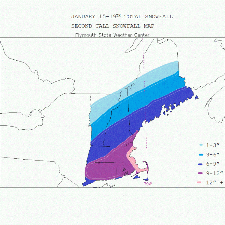
January 15-19th Second call snowfall map
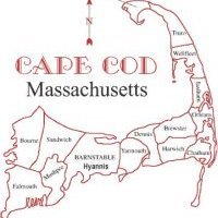
This map is the combined storm threats the next four days, I included the Thursday storm because I believe that the models will come northwest with the coastal storm on Thursday enough to add a few inches to the forecast for Cape Cod. I believe 12"+ will occur on the Cape, south and north shores of Boston, MA as this is combining all three events which it looks like all three will contribute 3-6" of snow to this part of the region. Most of the rest of the region will be 6-9 or 9-12" from the Wednesday event alone. Coastline gets their snow Wednesday into Thursday from two likely different events


0 Comments
Recommended Comments
There are no comments to display.
Create an account or sign in to comment
You need to be a member in order to leave a comment
Create an account
Sign up for a new account in our community. It's easy!
Register a new accountSign in
Already have an account? Sign in here.
Sign In Now