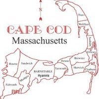
**12z Model Update for storm this weekend**
Most of the afternoon and late morning model guidance has trended towards a much larger and more severe event with the exception being the GFS, while the GFS produces over 8" of snow for the Cape, it also is weaker with the storm for Saturday. We are less than 72 hours away from the first impacts of this winter storm, mix with rain is possible on the MA coastline, including the islands of Nantucket and Martha's Vineyard. Winter storm watches could be issued as soon as Thursday afternoon from Taunton and as early as tonight for the Deep Southern states of LA, TX, GA, FL, and NC and SC. This storm reminds me of the 2004 Boxing Day Snowstorm, December 26-27th 2004


0 Comments
Recommended Comments
There are no comments to display.
Create an account or sign in to comment
You need to be a member in order to leave a comment
Create an account
Sign up for a new account in our community. It's easy!
Register a new accountSign in
Already have an account? Sign in here.
Sign In Now