Nor'easter Alert **
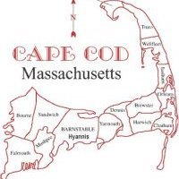
While I am sounding the alarm currently for preparations, I am not sold on the current solution in the model consensus. WE have explosive dynamics coming into play that the models are overlooking currently. First we have arctic air spilling over the Gulf Stream gradient, that is so useful for nor'easters. Second we have an arctic jet disturbance that is so amplified and caught in a very amplified flow the trough will move into a negative tilted state. This will allow extreme cyclogenesis to occur south of Southern New England and east of NJ. Models including the 12z GFS and 12z EURO have caught their eyes on the second shortwave in the bunch and want to amplify the flow to favor this nor'easter. The current amounts in the model fields are 3-6" and 8"+ for the coastline of Massachusetts. However, I think this may be a case of overachiever central, a massive amount of snow is possible. I will have more after the 18z GFS


0 Comments
Recommended Comments
There are no comments to display.
Create an account or sign in to comment
You need to be a member in order to leave a comment
Create an account
Sign up for a new account in our community. It's easy!
Register a new accountSign in
Already have an account? Sign in here.
Sign In Now